Regional hiking trails

Here you will find, among other things, a selection of hiking trails of the Eifelverein in the Bitburger Land. The trails are marked with a three-coloured "E" (blue: for sky and water; brown: for earth and soil; green for meadows and forests) on a white mirror; above it "EIFELVEREIN", below it on a green field the name of the trail.

This section also contains a selection of local hiking trails in the Bitburger Land holiday region.

mehr lesen

Share content:

Bitte akzeptieren Sie den Einsatz aller Cookies, um den Inhalt dieser Seite sehen zu können.

Alle Cookies Freigeben
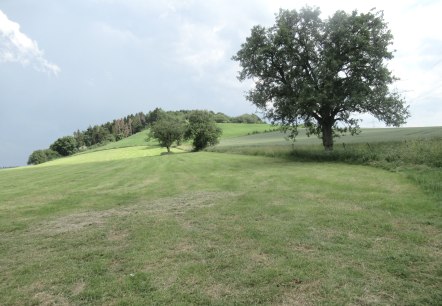
Nattenheimer Hexenpfad 3, © Geschichtlicher Arbeitskreis Nattenheim

Nattenheimer Hexenweg Wanderung 3

Lenght: 8.7 km
Route: Nattenheimer Gemeindehaus to Nattenheimer Gemeindehaus
Difficulty: easy

More information
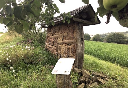
An insect hotel made of wood and clay stands at the edge of a green field. An information board provides information about the hotel. Flowering plants in the foreground., © TI Bitburger Land M.Mayer

Nature trail Wilsecker and Etteldorf

Lenght: 5.6 km
Difficulty: easy

More information
Logo of the Eifelverein with stylized lines in blue, brown and green. Below it is 'Mosel-Our-Weg' on a green background., © Eifelverein

Eifelverein - Mosel-Our-Weg 4. Etappe

Lenght: 16.1 km
Route: Bettenfeld to Kyllburg
Difficulty: medium

More information
Logo of the Eifelverein with colorful lines and the lettering 'Mosel-Our-Weg' on a green background., © Eifelverein

Eifelverein - Mosel-Our-Weg 5. Etappe

Lenght: 12.3 km
Route: Kyllburg Bademer Straße to Bitburg
Difficulty: medium

More information
Logo of the Eifelverein with colorful lines and the lettering 'Mosel-Our-Weg' on a green background., © Eifelverein

Eifelverein - Mosel-Our-Weg 6. Etappe

Lenght: 15.2 km
Route: Bitburg Dauner Straße to Weidingen
Difficulty: medium

More information
A forest path covered with leaves, surrounded by tall trees. One tree is marked with the number 1., © Eifelverein OG Speicher

Römerweg - Rundweg rund um Speicher

Lenght: 12.7 km
Difficulty: medium

More information
A small chapel from 1877 stands in the forest, surrounded by trees and a path. The sun shines through the canopy.

Töpferweg - circular trail around Speicher

Lenght: 10.2 km
Difficulty: medium

More information
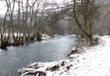
A snow-covered river with bare trees on the banks. The path along the river is also covered in snow., © Eifelverein Ortsgruppe Speicher

Klaus-Thiel-Weg - circular trail around Speicher

Lenght: 42.6 km
Difficulty: difficult

More information
A small chapel stands at the edge of the forest next to a gravel path. The surrounding area is lined with trees with leaves lying on the ground., © Eifelverein Ortsgruppe Speicher

Schönfelderweg - circular trail around Speicher

Lenght: 13.2 km
Difficulty: medium

More information
A bench stands at the edge of the path with a view of a rural landscape. A winding path leads through fields and trees., © Eifelverein Ortsgruppe Speicher

Pilgrimage trail - circular route around Speicher

Lenght: 17 km
Difficulty: difficult

More information