Regional hiking trails

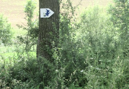
Here you will find, among other things, a selection of hiking trails of the Eifelverein in the Bitburger Land. The trails are marked with a three-coloured "E" (blue: for sky and water; brown: for earth and soil; green for meadows and forests) on a white mirror; above it "EIFELVEREIN", below it on a green field the name of the trail.

This section also contains a selection of local hiking trails in the Bitburger Land holiday region.

mehr lesen

Share content:

Bitte akzeptieren Sie den Einsatz aller Cookies, um den Inhalt dieser Seite sehen zu können.

Alle Cookies Freigeben
Logo of the Eifelverein with colorful lines and the lettering 'Willibrordusweg' on a green background., © Eifelverein

Eifelverein - Willibrordusweg 3. Etappe

Lenght: 11.4 km
Difficulty: medium

More information
Logo of the Eifelverein with the lettering 'Willibrordusweg' on a green background., © Eifelverein

Eifelverein - Willibrordusweg 5. Etappe

Lenght: 14.5 km
Route: Oberweis Bitburger-/Grabenstraße to Prümer Burg
Difficulty: easy

More information
Logo of the Eifelverein with colorful lines and the lettering 'Willibrordusweg' on a green background., © Eifelverein

Eifelverein Willibrordusweg 4. Etappe

Lenght: 15.5 km
Route: Echtershausen Prümbrück to Oberweis Bitburger-/Grabenstraße
Difficulty: medium

More information
A stone village fountain with reliefs and flowing water, surrounded by red flowers and an information board on a stone wall., © TI Bitburger Land - M. Mayer

Neidenbach N1

Lenght: 8.7 km
Route: Dorfbrunnen Ecke Densborner Straße, Kyllburger Straße to Dorfbrunnen Ecke Densborner Straße, Kyllburger Straße
Difficulty: medium

More information
The Frohnert Chapel in Oberkail, surrounded by trees and an old gravestone in the foreground, in sunny weather., © TI Bitburger Land

Oberkail circular walk (OK1)

Lenght: 6.2 km
Difficulty: easy

More information
View of a church, surrounded by dense forests and hills, under a blue sky. Blurred plants can be seen in the foreground., © Tourist-Info Bitburger Land M.Mayer

Wanderweg Wilsecker und Etteldorf: "Blauer Weg"

Lenght: 2.3 km
Difficulty: easy

More information
Malberg Castle sits enthroned on a hill, surrounded by green trees and a clear blue sky in the background., © TI Bitburger Land

GPS-Tour: Schöne-Aussichten-Tour (TV-Wandertag)

Lenght: 12.3 km
Difficulty: medium

More information
The Marian column in Kyllburg rises out of the dense forest. A statue stands on a stone tower, surrounded by green trees and a blue sky., © TI Bitburger Land

GPS Tour: Heights and Valleys Tour (TV Hiking Day)

Lenght: 19.8 km
Route: Gemeindehalle Malberg, Finstinger Str., 54655 Malberg to Gemeindehalle Malberg, Finstinger Str., 54655 Malberg
Difficulty: difficult

More information
Nattenheimer-Hexenweg-2, © Geschichtlicher Arbeitskreis Nattenheim

Nattenheimer Hexenpfad Wanderung 2

Lenght: 4.3 km
Route: Nattenheimer Gemeindehaus to Nattenheimer Gemeindehaus
Difficulty: easy

More information
Nattenheimer Hexenweg 1, © Geschichtlicher Arbeitskreis Nattenheim

Nattenheimer Hexenweg Wanderung 1

Lenght: 7 km
Route: Gemeindehaus Nattenheim, Schulstr. 8 to Gemeindehaus Nattenheim, Schulstr. 8
Difficulty: easy

More information