GPS-assisted hiking

Hiking with GPS devices means hiking without the stress of orientation, and is great fun! The South Eifel can be discovered and hiked across on many hiking routes with different lengths, independent of signage and markings. Your GPS device will lead you safely through our diverse landscape and let you focus on looking at the important things.

GPS devices can be hired from the Bitburger Land tourist information centre for 7.50 EUR/day. Deposit for one GPS device: 5 EUR.

mehr lesen

Share content:

Bitte akzeptieren Sie den Einsatz aller Cookies, um den Inhalt dieser Seite sehen zu können.

Alle Cookies Freigeben
Mohrweiler high-altitude hike

GPS-Wanderung: Höhenwanderung um Mohrweiler

Lenght: 6.1 km
Difficulty: easy

More information
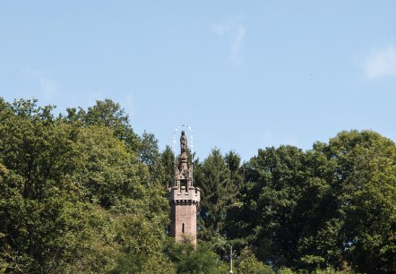
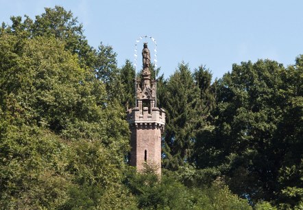
The Marian column in Kyllburg rises out of the dense forest. A statue stands on a stone tower, surrounded by green trees and a blue sky., © TI Bitburger Land

GPS Tour: Heights and Valleys Tour (TV Hiking Day)

Lenght: 19.8 km
Route: Gemeindehalle Malberg, Finstinger Str., 54655 Malberg to Gemeindehalle Malberg, Finstinger Str., 54655 Malberg
Difficulty: difficult

More information
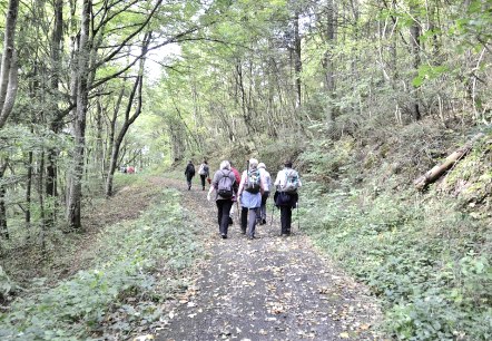
Hiker, © TI Bitburger Land

GPS-Tour: Rundwanderweg Zendscheid

Lenght: 12 km
Difficulty: medium

More information
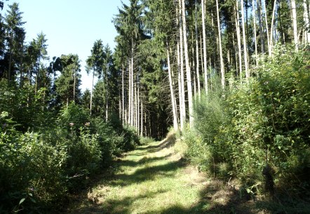
High forest romance, © NaturAktivErleben

Closed EifelBahnSteig - 19th stage: From St. Thomas to Kyllburg

Lenght: 24.1 km
Route: Bahnhof Sankt Thomas to Bahnhof Kyllburg
Difficulty: difficult

More information
Marian column Kyllburg, © TI Bitburger Land

Gesperrt GPS-Tour: Rundweg von Kyllburg - Malberg

Lenght: 6.2 km
Difficulty: easy

More information
A shady forest path leads through lush greenery. On the right is a large information sign with a map. The path is lined with trees., © Tourist-Information Bitburger Land

Königswäldchen forest experience path

Lenght: 3 km
Route: Parkplatz L32 Königswäldchen to Parkplatz L32 Königswäldchen
Difficulty: easy

More information
Malberg Castle sits enthroned on a hill, surrounded by green trees and a clear blue sky in the background., © TI Bitburger Land

GPS-Tour: Schöne-Aussichten-Tour (TV-Wandertag)

Lenght: 12.3 km
Difficulty: medium

More information