GPS-Wanderung: Höhenwanderung um Mohrweiler
mohrweiler
SECRET TIP FROM MONIKA SIFFERATH
Do you already know Mohrweiler? The small village of Mohrweiler, which belongs to the local community of Malberg, is situated at approx. 470 m above sea level. The village was founded a long time ago as a small "hamlet"; today it has around 170 inhabitants.
This is where I start my hike. I park my car at the entrance to the village near the children's playground. Now I walk to the right along the well-maintained farm track. A beautiful distant view opens up before my eyes on this "high path".
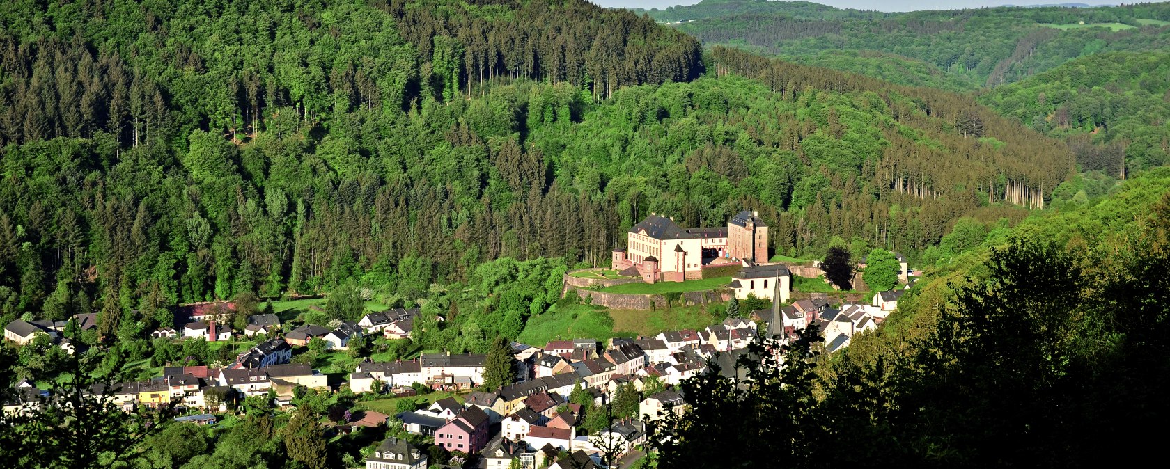
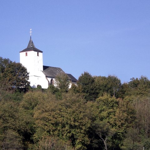
After about 1 km slightly downhill, I reach a fork in the road. Shortly before the signposts on the left, I take the first path to the right and after about 100 m a magnificent panoramic view opens up down into the deep Kyll valley. From here you can see the Kyll loop between Kyllburg and Malberg and see how the river has carved its way deep into the valley with elemental force. But it's not just this view that fascinates me. If I let my gaze wander slightly to the right, the magnificent Malberg Castle rises majestically above the village of Malberg on a small hill. To the left is the town of Kyllburg with the Stiftsberg and the collegiate church on top. This vantage point reminds me again and again of the beauty of my homeland.
From here, I walk back and follow the signpost towards Kyllburg/Mariensäule for a short detour to the Mariensäule. I climb the 57 steps to the 15 m high viewing platform, which affords me a beautiful view of Kyllburg and the Stiftsberg. After these wonderful impressions, I make my way back to Mohrweiler.
Walking time: approx. 1.5 hours without stops, distance approx. 6 km
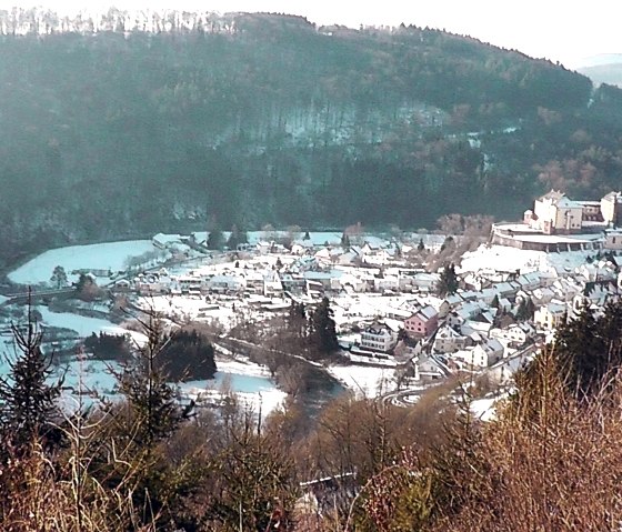
PS: Even in winter, when there is snow, this is a beautiful excursion destination.
Please note: This hike is a pure GPS hike and is not signposted on site!
You can download the GPS coordinates as a GPX track to your cell phone and open them in a corresponding app, e.g. Outdoorative,
GPX Viewer .


