GPS-Tour: Schöne-Aussichten-Tour (TV-Wandertag)
Malberg
This tour was created on the occasion of the TV hiking day (Trierischer Volksfreund) in Malberg.
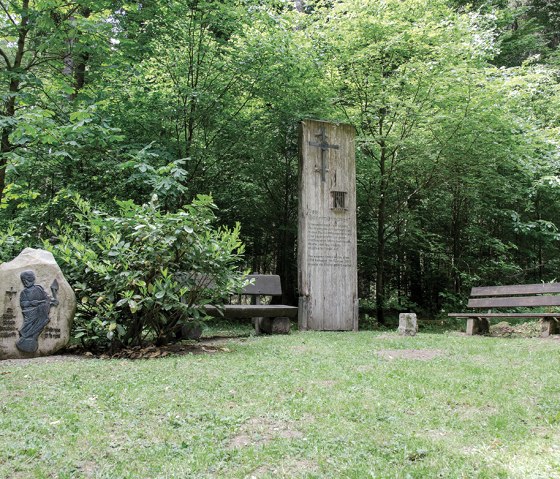
Parking is available at the community hall in Malberg. From there, the route leads through the idyllic village of Malberg, via Lindenstraße into the forest. The hike leads past the "Eisenmännchen" (Mohrweiler).
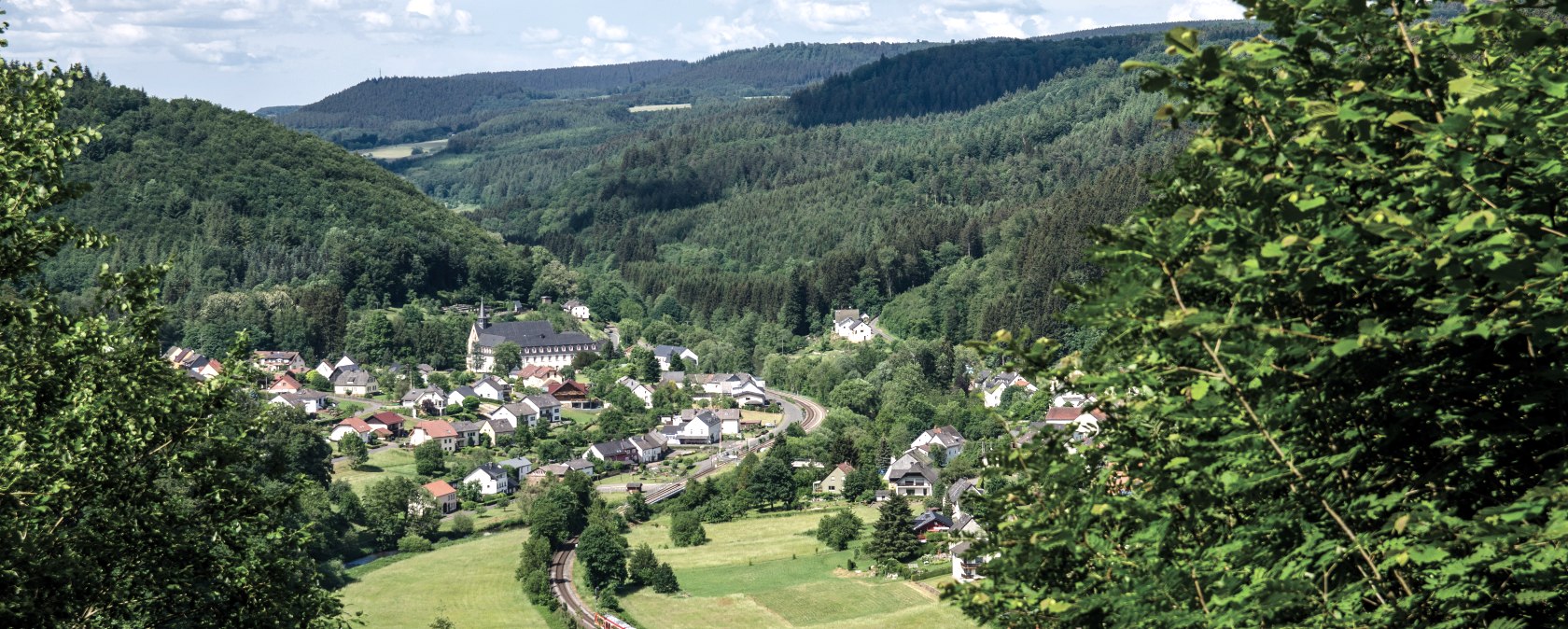
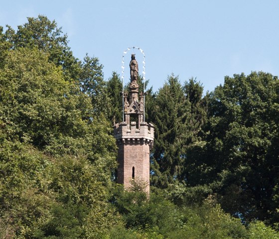
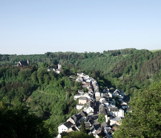
During the hike, there are beautiful panoramic views, e.g. at "Place Belle Vue" of the parish of St. Thomas. A highlight is the Marian column in Kyllburg and the view of Malberg Castle.
Please note: This hike is purely a GPS hike and is not signposted on site!
You can download the GPS coordinates as a GPX track to your cell phone and open them in a corresponding app, e.g. Outdoorative,
GPX Viewer.


