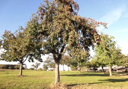
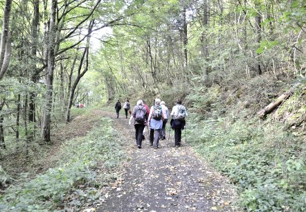
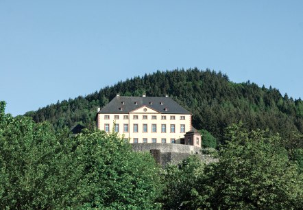
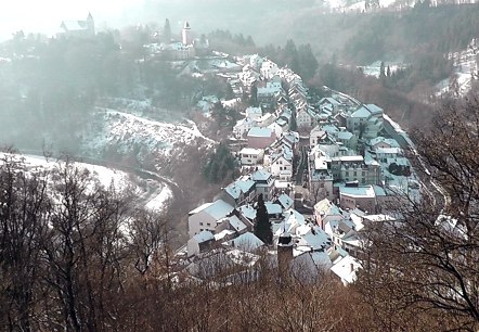
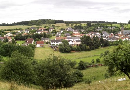
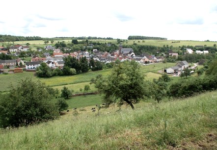
Wandern mit Kindern, © TI Bitburger Land

Hiking with children

Short hikes up to 10KM in length

Enjoy the peaceful and idyllic nature of the Bitburger Land holiday region during a hike or a walk with the whole family.

mehr lesen

Share content:

Bitte akzeptieren Sie den Einsatz aller Cookies, um den Inhalt dieser Seite sehen zu können.

Alle Cookies Freigeben
Golfclub Südeifel

Golfclub Südeifel

Baustert

This 9-hole course with "Golfodrome" offers golfers playing conditions in a scenic location.

More information
A river flows through a green landscape with trees. Two cyclists can be seen on the right bank. The sky is clear and blue., © TI Bitburger Land_U. Hallet

GPS Bike Tour - The Kyll Valley and the Clay Pits

Lenght: 51.1 km
Difficulty: medium

More information
A small chapel in the countryside, surrounded by blooming roses. A bench stands next to it, a tree provides shade. Blue sky in the background., © Tourist-Information Bitburger Land, Melanie Salzburger

GPS bike tour "Idyllic Kallenbach Valley

Lenght: 65.1 km
Difficulty: medium

More information
Bitburger field and meadow tour, © Tourist-Information Bitburger Land

GPS bike tour Bitburger Feld- und Flur-Tour

Lenght: 23.5 km
Difficulty: medium

More information
Two cyclists ride past the historic Rittersdorf Castle, surrounded by green trees and a clear sky., © Eifel-Tourismus GmbH/Dominik Ketz

GPS bike tour city country river tour

Lenght: 38.7 km
Difficulty: medium

More information
A narrow road leads through green fields, with a cornfield on the right. The sky is blue with white clouds., © TI Bitburger Land

GPS bike tour: Nimstal-Prümtal-Round

Lenght: 40.4 km
Difficulty: medium

More information
Former quarry near Gondorf, © Tourist-Information Bitburger Land_Melanie Salzburger

GPS hike: Through the former quarry near Gondorf

Lenght: 5.5 km
Route: Gondorf to Gondorf
Difficulty: easy

More information
A rural path leads through an autumnal landscape with trees and green grass under a blue sky with clouds., © TI Bitburger Land

GPS tour: Bedatour - Once around the beer town Bitburg

Lenght: 19.5 km
Difficulty: medium

More information
ET-2023-142-Nims Radweg, Messerich-©Eifel Tourismus GmbH, Dominik Ketz, © Eifel Tourismus GmbH, Dominik Ketz

GPS Tour: Bitburger Land Tour

Lenght: 19.7 km
Difficulty: easy

More information
The Marian column in Kyllburg rises out of the dense forest. A statue stands on a stone tower, surrounded by green trees and a blue sky., © TI Bitburger Land

GPS Tour: Heights and Valleys Tour (TV Hiking Day)

Lenght: 19.8 km
Route: Gemeindehalle Malberg, Finstinger Str., 54655 Malberg to Gemeindehalle Malberg, Finstinger Str., 54655 Malberg
Difficulty: difficult

More information