Hiking with children
Short hikes up to 10KM in length
Enjoy the peaceful and idyllic nature of the Bitburger Land holiday region during a hike or a walk with the whole family.

Short hikes up to 10KM in length
Enjoy the peaceful and idyllic nature of the Bitburger Land holiday region during a hike or a walk with the whole family.
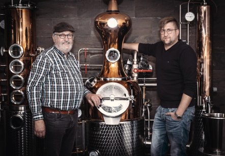
Wolsfeld
Convince yourself - we would be pleased to conduct a distillery tour with subsequent tasting for you. For connoisseurs and enthusiasts we offer a large selection of high quality brandies, liqueurs, etc.
More information
Lenght: 19.6 km
Route: Hiking parking lot Waldpark Eifel, 54689 Irrhausen to Hiking parking lot Waldpark Eifel, 54689 Irrhausen
Difficulty: difficult
Round trip

Lenght: 24.3 km
Route: Parkplatz Burgau, 52156 Monschau to Rurstraße; Heilenstraße, 52152 Einruhr
Difficulty: difficult
Public transportation
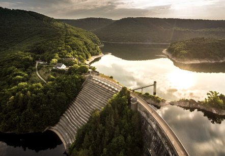
Lenght: 21.2 km
Route: Rurstraße; Heilenstraße, 52152 Einruhr to Am Marienplatz, 54673 Gemünd
Difficulty: medium
Public transportation

Lenght: 17.7 km
Route: Zentrum am Rathaus 53945 Blankenheim to Parkplatz Haus Mirbach, 54578 Mirbach
Difficulty: medium
Public transportation
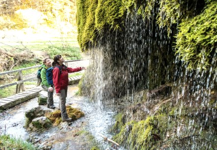
Lenght: 26.1 km
Route: Parkplatz Haus Mirbach, 54578 Mirbach to Busbahnhof, Viehmarktplatz, 54576 Hillesheim
Difficulty: difficult
Public transportation
Lenght: 19.5 km
Route: Mürlenbach to Malberg
Difficulty: medium
Lenght: 25.4 km
Route: Malberg to Speicher Bahnhofstraße
Difficulty: difficult

Lenght: 19.9 km
Route: Speicher Bahnhofstraße to Kordel
Difficulty: medium

Lenght: 16.1 km
Route: Bettenfeld to Kyllburg
Difficulty: medium