Regional hiking trails

Here you will find, among other things, a selection of hiking trails of the Eifelverein in the Bitburger Land. The trails are marked with a three-coloured "E" (blue: for sky and water; brown: for earth and soil; green for meadows and forests) on a white mirror; above it "EIFELVEREIN", below it on a green field the name of the trail.

This section also contains a selection of local hiking trails in the Bitburger Land holiday region.

mehr lesen

Share content:

Bitte akzeptieren Sie den Einsatz aller Cookies, um den Inhalt dieser Seite sehen zu können.

Alle Cookies Freigeben
A forest with large rocks and trees illuminated by sunlight. The ground is covered with foliage., © Tourist-Info Bitburger Land

Wanderweg Echtersbach 6

Lenght: 7.8 km
Difficulty: medium

More information

Seffern "Wingert Route"

Lenght: 10.1 km
Difficulty: medium

More information
The church in Wißmannsdorf with red window frames, surrounded by bare trees and a stone wall in the foreground., © TI Bitburger Land

Wanderweg Wißmannsdorf-Hermesdorf 2a

Lenght: 5 km
Difficulty: easy

More information
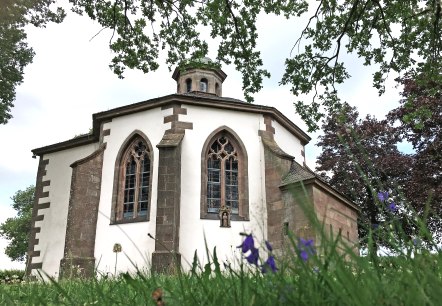
The Frohnert Chapel with Gothic windows, surrounded by trees and flowers in the foreground, taken from a low perspective., © TI Bitburger Land

Oberkail "OK2"

Lenght: 6.1 km
Route: Gemeindehaus, Kyllburger Straße, 54533 Oberkail to Gemeindehaus, Kyllburger Straße, 54533 Oberkail
Difficulty: easy

More information
A church in Wißmannsdorf with a pointed tower and red window frames against a clear blue sky., © TI Bitburger Land

Wanderweg Wißmannsdorf 1

Lenght: 4.5 km
Difficulty: easy

More information
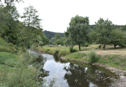
A small river flows through a green landscape of trees and meadows in Wißmannsdorf., © TI Bitburger Land

Wanderung Wißmannsdorf-Hermesdorf 2b

Lenght: 7.3 km
Difficulty: medium

More information
Green hills with a yellow rapeseed field, a village in the valley and a walker in the foreground. Cloudy sky., © A. Girards

Hütterscheid "Moortalweg" Nr.3

Lenght: 5.6 km
Route: Hauptstraße, 54636 Hütterscheid to Hauptstraße, 54636 Hütterscheid
Difficulty: easy

More information
Brick church of St. Laurentius with tower and clock, surrounded by trees and a cross in the foreground, under a blue sky., © TI Bitburger Land

Seffern "Wald-Wasser-Weg"

Lenght: 8 km
Difficulty: medium

More information
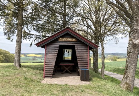
A small wooden hut with the sign 'Knutschheisjen' stands between trees in a green landscape of fields and hills., © A. Girards

Hütterscheid "Zur schönen Aussicht"

Lenght: 11.4 km
Difficulty: medium

More information
Sign with the inscription 'Rundweg Enztalblick' and a red and white coat of arms with a cross., © Gemeinde Enzen

Enzen "Enztalblickweg"

Lenght: 6.8 km
Difficulty: medium

More information