Wanderweg Oberweis 1
Oberweis
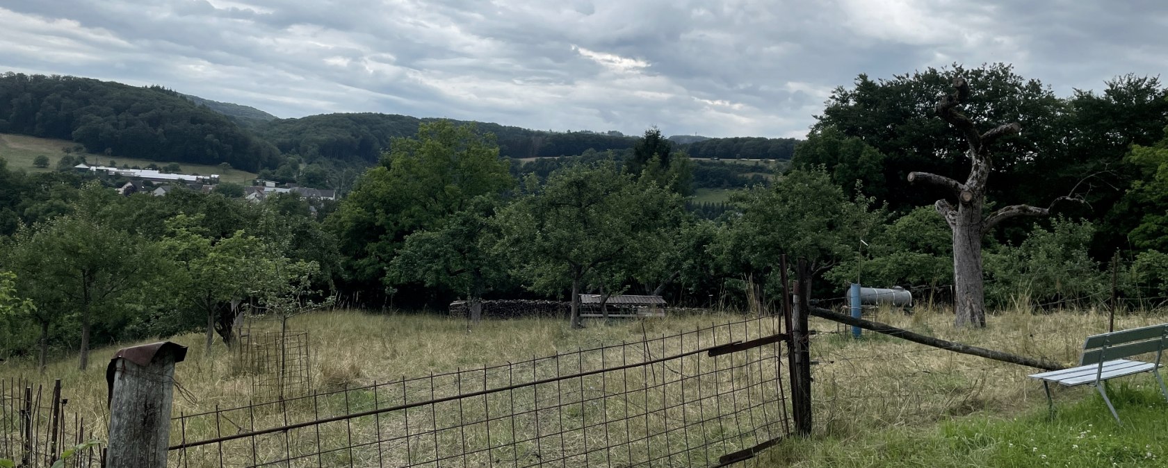
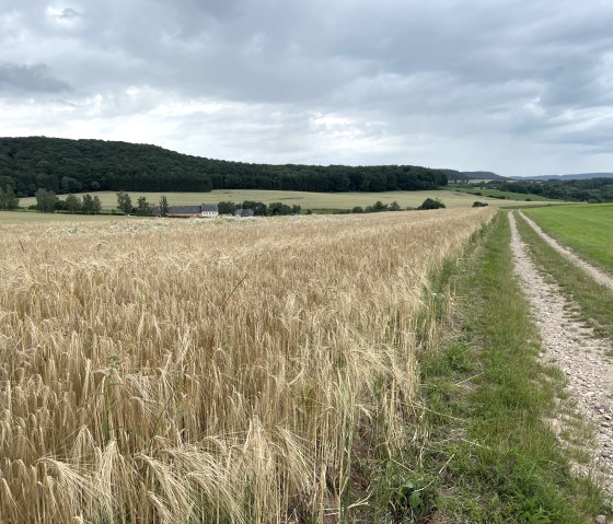
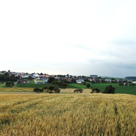
Along the B50 towards Bitburg, pass the last house on the left and take the paved and marked cycle path in a northerly direction. Follow this path - which here corresponds to the Eifelverein's main hiking trail no. 5 from Düren to Trier - until you reach the district road K67 before Brecht. Cross this road and walk up the steeply ascending meadow path. (Alternatively, you can follow the K67 to the right for approx. 400m past the "Heldhof"). At the top of the hill, the path descends slightly to the right back onto the K67 district road. On the right hand side, diagonally opposite, turn into the tarred farm track, which you continue on to the right after a few meters. The path then forks. (*) Path no. 1 goes to the right along a grassy slope path through meadows and along the forest, always at roughly the same altitude with a wonderful view of the Prüm flowing in the valley. On the other side of the Prüm, below the Brotberg, is the "Buchenhof", a large farm. Afterwards, you can see the new development area of Oberweis. Before the path leads downhill to the B50, turn left at the fork and tackle the final ascent. This allows you to avoid the busy B50, on which you would otherwise have to walk on the shoulder for approx. 350m. At the top, you will meet path no. 1a coming from the left. Together again, you will reach the B50 at the "Birkenhof".
Alternatively, you can also take trail no. 1a at the fork (*) further uphill. Already in the forest you will come to a crossroads, which you continue on the right. The path leads through the "Im Schmahl" forest in a southerly direction with wonderful views until you come to path no. 1 again.
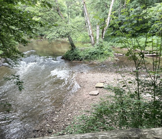
Directly below the "Birkenhof", at the bus stop, a narrow, steeply sloping path branches off to the left into the "Groscht" (Grabenstr.). Shortly before the first house, you can admire beautiful rock formations on the left, crossed by the Rasenbach stream. After a further 250m "descent" you reach the B50 and the starting point of the hike.
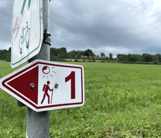
Marking of the tour:


