Ahr Cycle Route | Ahr-Radweg
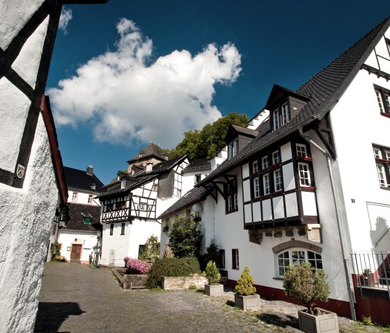
Blankenheim
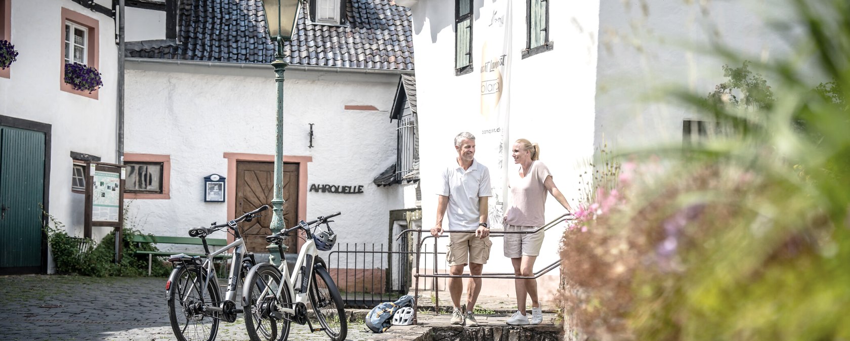
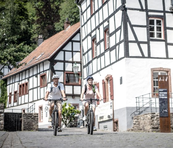
In the middle of the breathtaking landscape of the Ahr valley, the | Ahr-Radweg meanders over a length of 77 km from the source of the Ahr to the mouth.
The Ahr cycle path can be ridden in different individual stages, because the sights along the way invite you to spread the 77 kilometers over several days.
With a little fitness, the tour could be done in one day, but why? There is so much to see along the way that it is worth making long stops. The culinary refreshment stops tempt you to take your time.
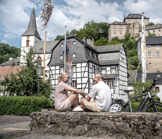
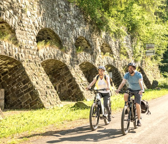
The start is at the source of the Ahr, in Blankenheim. The river meanders to Sinzig. The tour is also suitable for less experienced cyclists, as the route runs over long distances over former railway lines. Several bridges are crossed and a tunnel is crossed. Nine viaducts cross the path.
Insul is one of the places where cyclists should definitely stop. The impressive Prümer Tor natural monument, with its impressive width of 6 to 8 meters and a height of 12 meters, was created solely by the power of the water. The feudal people of the Ahrgau once drove their tithes on carts through the Prüm Gate. At the “gold hole”, visitors immerse themselves in the world of mining. It was abandoned in the 1930s, but the population continued to use the tunnels. During World War II it was a refuge and later an adventure playground for the children.
The theme of wine accompanies the tour in many places; for example at the Marienthal monastery ruins. The Augustinians founded the monastery in the 12th century; today the church ruins are often used for concerts. Next door is a winery with a bar. The route also leads through wine villages such as Altenahr. So there is plenty of variety. In the evening, the stage can be wonderfully ended in one of the ostrich taverns. Cyclists can review the tour over a glass of wine - everyone has probably discovered a different, very special favorite place for themselves.
Current information! Please note! Ahr cycle path under reconstruction
On the section from Schuld to Ahrbrück, the cycle path is passable throughout. Between Ahrbrück and Pützfeld, the cycle path is expected to be closed for a year from February 2024 for construction work. The existing cycle bus route 844 Altenahr-Rheinbach has been extended to Ahrbrück, meaning that an alternative service already exists for this section. This bus route is equipped with bicycle trailers and a limited number of bicycles can be taken along. The section between Pützfeld and Altenahr is fully accessible. No safe route through the Ahr valley can currently be recommended for the stretch between Altenahr and Walporzheim. This section will not be suitable for cycle traffic in the next few years due to the intensive construction work in the valley. It is not recommended for cyclists to use the main road 267 due to the high volume of traffic. It is not possible to take bicycles on the rail replacement service in the valley. At the same time, the LBM project office is working intensively with Deutsche Bahn on the reconstruction of the cycle path in the valley. The railway and cycle path structures are to be rebuilt together. The route between Walporzheim and Sinzig can be used with detours. In sections, it runs on temporary and replacement routes. Please observe the signposting for the replacement route of the Ahr cycle path. Reconstruction and planning have started, but it will still take some time to completely prepare a new Ahr cycle path
|
Marking of the tour:


