Active filter
- Sort by "Best results"

Gransdorf G6
Lenght: 4.3 km
Route: Dorfplatz, Brunnenstraße, 54533 Gransdorf to Dorfplatz, Brunnenstraße, 54533 Gransdorf
Difficulty: easy
Family-friendly, Round trip

Gransdorf G7
Lenght: 4.4 km
Route: Dorfplatz, Brunnenstraße, 54533 Gransdorf to Dorfplatz, Brunnenstraße, 54533 Gransdorf
Difficulty: easy
Family-friendly, Round trip

Griechisches Restaurant Zorbas
Bitburg
The Greek restaurant offers Greek and European cuisine.
More information
Grottenweg - Circular route around Speicher
Lenght: 11.1 km
Route: Speicher, Kirchstraße to Speicher, Kirchstraße
Difficulty: medium

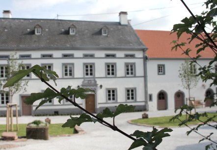
Gutshaus De La Fontaine
Bed and breakfast, Feilsdorf
- car parking lot
- WiFi
- pets welcome
- non-smokers

Hamm Castle
Hamm
The late medieval fortress from the 14th Century in Hamm near Bitburg is the largest of the castles in the Eifel still privately occupied. Here you can celebrate special occasions, be civilly married, get religiously married the Baroque chapel, dine in the Knights Hall, dance, celebrate birthdays and anniversaries, hold a champagne reception in the courtyard and much more…
More information
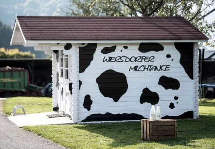
Hannenhof Milchtanke
Wiersdorf
The milk tank at the Hannenhof offers regional products around the clock.
More information
Haus Beda - Arts and Cultural Centre
Bitburg
The Haus Beda, is a cultural centre with a mixture of arts, education, entertainment and a museum.
More information


