Active filter
- Sort by "Best results"

Chapel Trail FL3 - Fließem
Lenght: 7 km
Route: Kirchstraße, 54636 Fließem to Kirchstraße, 54636 Fließem
Difficulty: medium
Round trip

Chapelle Frohnert
Oberkail
In 1646 a replica of the Chapel of the Assumption near Jerusalem was built on the hill between Oberkail and Schwarzenborn.
More information

Christiansmühle - Mühlenlädchen
Bitburg
Farm store with game from the region and other local products. freshly cut Christmas trees.
More information
Church of the Assumption of the Virgin Mary in Auw an der Kyll
Auw an der Kyll
The parish and pilgrimage church "Mariä Himmelfahrt" in Auw an der Kyll near Bitburg is one of the oldest and most beautiful churches in the Southern Eifel region. It has always characterized the image of the small village in the Eifel with its central, high position in the middle of the village in the Kyll valley…
More information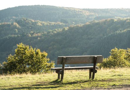
Circular hiking trail Messerich - Birtlingen
Lenght: 9.4 km
Difficulty: medium
Round trip

Citizen Park Maximiner Wäldchen Bitburg
Bitburg
Park with playground in the town of Bitburg.
More information
City Library – Library of the Dr. Hanns Simon Foundation
Bitburg
The Library of the Dr. Hanns Simon Foundation with more than 60,000 volumes currently is open to readers of all ages.
More information
city model of Bitburg
Bitburg
The bronze model of the city of Bitburg can be found at Spittel Square in the pedestrian area. It was donated by Dr. -Hanns-Simon-Stiftung and shows the layout of the modern city centre. Especially blind people get an accurate impression of their surroundings…
More information
city model of Bitburg
Bitburg
This model shows three historical stages of Bitburg's development on a scale of 1:400.
More information