Active filter
- Sort by "Best results"


Dec 14, 2025 Weihnachtsmarkt Bitburg
Bitburg
Visitors to the Christmas market in Bitburg can expect a festive atmosphere in the pedestrian zone.
More information
Bitburger LandGang - Wandersteig Tanzlay - Circular route around Hüttingen an der Kyll
Lenght: 1.4 km
Route: Parkplatz in der nähe vom Friedhof, Röhler Straße, Hüttingen an der Kyll to Parkplatz in der Nähe vom Friedhof, Röhler Straße, Hüttingen an der Kyll
Difficulty: difficult
Round trip

"De Beberijer Gäßestrepper"
Bitburg
The "Gäßestrepper" refers to an old town legend.
More information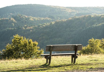

"Vinum" - Weinfachhandel & Verkostung
Bitburg
Wine Shop with wine, chanpange. brandies of the region, cigars and others. Wine tasting possible.
More information
Actionbound auf Schloss Malberg - Digitale Schnitzeljagd
Lenght: 0.5 km
Difficulty: easy
Family-friendly