South Eifel Nature Park Hiking Trail No. 78 - Baustert
Baustert
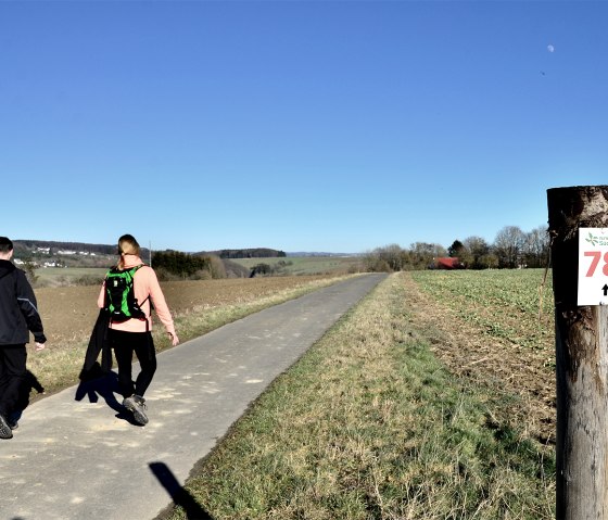
The circular trail no. 78, which is 10 km long, connects the local communities of Baustert and Brimingen. The hike starts at the village community square on Maximinstraße in Baustert.
The hiker is accompanied by wonderful views, the soothing babble of small streams, wayside crosses, as well as woods, meadows and fields.
Route description:
The circular walk is signposted from both sides, so that each hiker can determine the direction of the walk himself. Our path leads through Kirchstraße, past the parish church of Sankt Maximin.
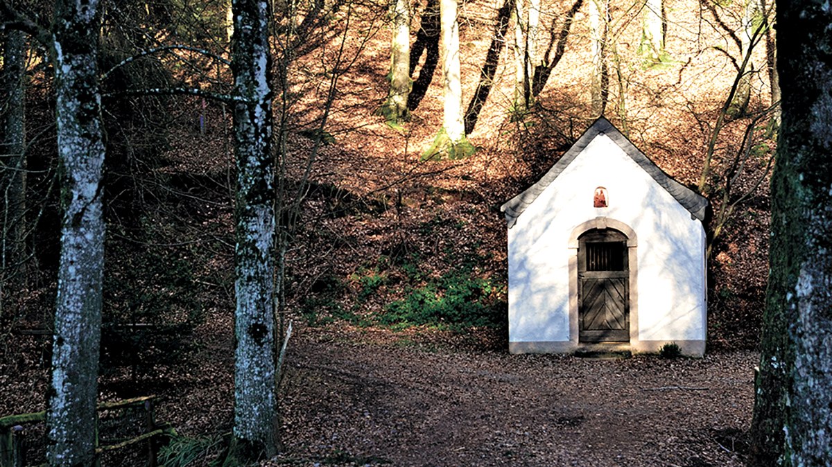
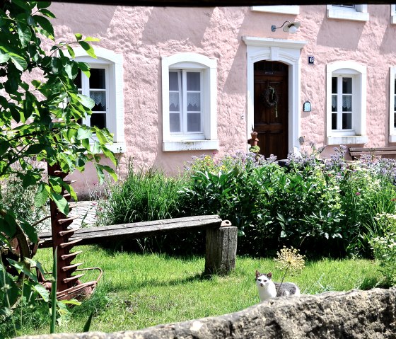
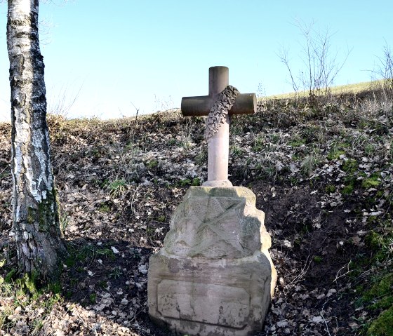
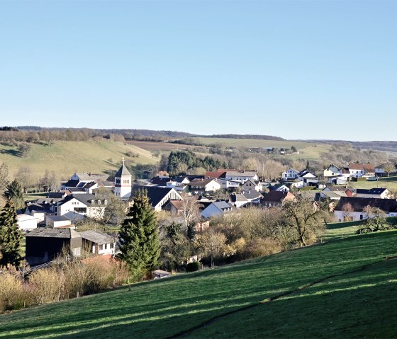
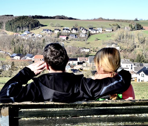
After a few metres, you turn right into Bruchweg, which you leave after a short while to turn right again. Over a beautiful wooden bridge, you cross the Mühlbach, which is called "Bouster Baach" here. Its babbling accompanies the hike for a while. Before you leave the forest to the left, you will see a picturesque chapel at the edge of the forest, which invites you to linger. The Hütterscheider Bach and the Udersbach, which flow together near the chapel, create a harmonious overall picture. Crossing the road, the trail turns right and climbs steeply up past meadows. At the top, you have a beautiful view of Baustert with its prominent church and the surrounding forests. Past the sports field, the markings point to the right into Schulstraße. After a short climb, the hiking trail leads past the golf course into the forest. Dormant moss, woodruff, mugwort and other herbs line the edge of the path and with a bit of luck you can hear the hammering of the industrious woodpecker in the distance. The route steers the hiker to the right, past meadows and orchard trees, to Brimingen. Here, hiking trail no. 78 runs parallel to no. 77. Both circular hiking trails lead along meadows and cultivated fields, leisurely uphill, to a high plateau. From here you have a fantastic view of Utscheid, Weidingen, Hütterscheid and, on the other side, the silhouette of Bitburg with its striking brewery towers. In good weather, the view even reaches as far as the Hunsrück. The trail continues through the municipality of Brimingen, past time-honoured farmhouses through the street Am Maarfeld and further to the left through the village street. Meadows and fields line the asphalt field path. Here we say: "Eyes open", because nine deer crossed the path on our hike. When you reach the Hiseler Straße, the markings lead you to the right. After a few steps, you will see a sandstone wayside cross, which is soon followed by another wayside cross. In the future, information boards will be attached to the wayside crosses to provide interesting facts about the crosses. Leave the Hiseler Straße to the left onto a field path. Wide plateaus offer the hiker an impressive panoramic view of Baustert. From a bench, where there is another wayside cross, you can enjoy the view at length, perfect for a rest. From there, the path leads back to Baustert, along the Eisenknapp road, past the Eschbach stream, to the starting point at Maximinstraße.
Marking of the tour:


