South Eifel Nature Park Hiking Trail No. 73 - Oberweis
Oberweis
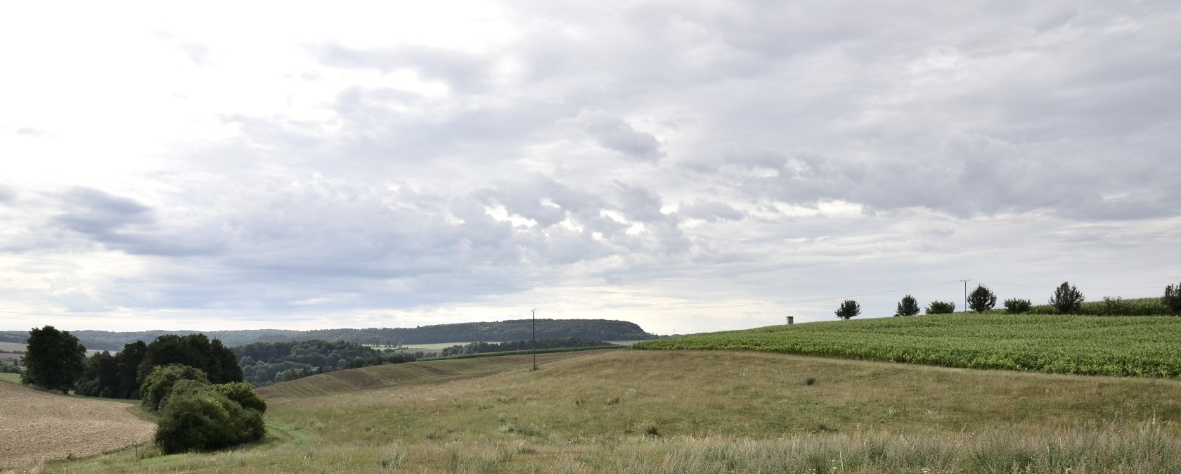
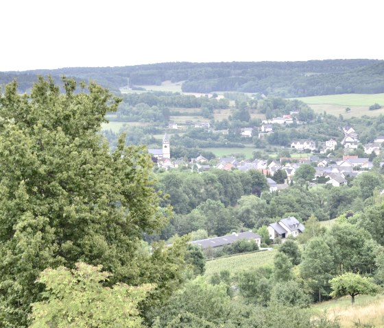
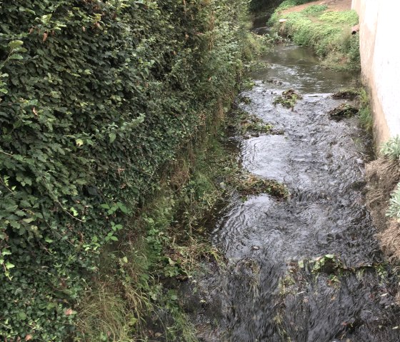
The circular hike of about 8 km starts in the municipality of Oberweis, which is located in the beautiful Prüm Valley, and leads through the village of Mülbach (270 m above sea level), which is located west of Bitburg on the lower reaches of the Mühlbach. The hike is accompanied by the chirping of grasshoppers, wild herbs, sloes, elder and hazelnut trees. Here and there you can enjoy a magnificent view over the Eifel countryside.
In Oberweis, you are led past the former site of the Roman Villa Oberweis. The ARGO app gives you the opportunity to see a reconstruction of the villa at its original location.
In a LEADER-funded project, the Department of Classical Archaeology developed the information and guidance system ARGO, which enables users to bring ancient and medieval buildings back to life with the help of an app. This is made possible by the technology of augmented reality.
Click here for the app: ARGO - Augmented Archaeology (ar-route.de)
Tip
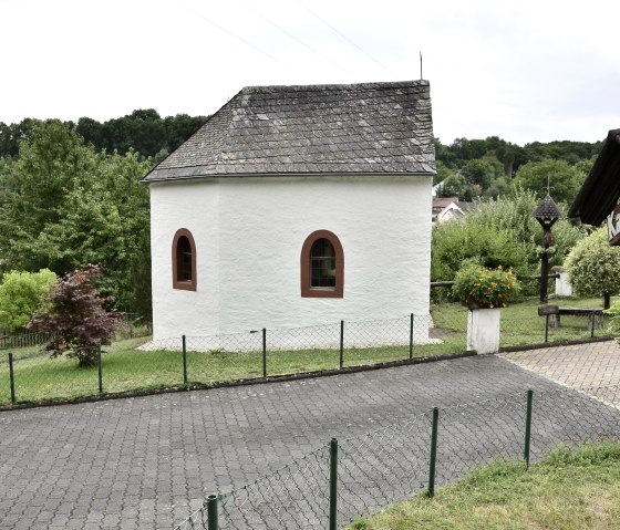
In Mülbach there is a house chapel with a guest book.
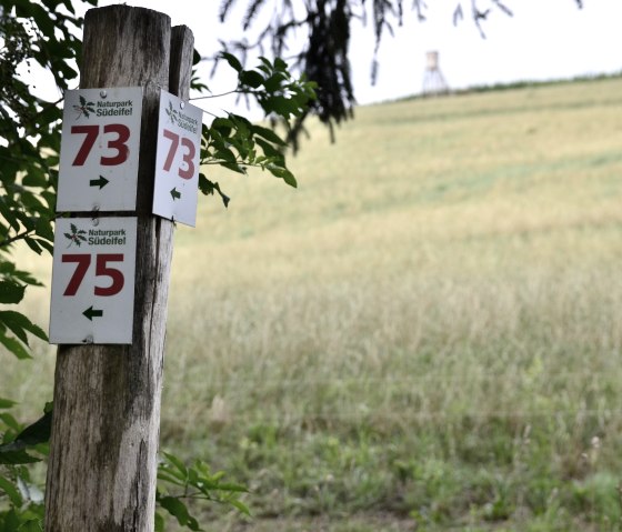
Marking of the tour:


