EifelBahnSteig - 25th stage: From Auw an der Kyll to Daufenbach
Auw an der Kyll
Due to the flood event in July 2021, the Eifelbahn route is currently not passable.
We are in the German-Luxembourg Nature Hiking Park, or delux for short. Our route follows the markings of the "Kylltaler Bundsandsteintour", which is part of this area, almost throughout. Only at the end do we deviate from it and descend to Daufenbach.
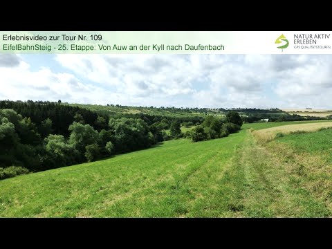
This stage can certainly be described as "de luxe", because for long stretches we hike on grass paths and trails, accompanied by lush floral decorations, striking rock formations and expansive views. First we take our bearings along the Stillegraben: briefly through its picturesque valley, then uphill for a longer time, past a resting place situated on an impressive red sandstone rock, and finally into the open. A grassy path now leads above the Stillegraben through meadows with a beautiful view of the higher situated Orenhofen. Afterwards, we continue to hike in a north-easterly direction along this stream for a while, then we turn SE, cross the Orenhofen forest and arrive at the Grundsgraben. Now we walk for a long time on grass paths above this stream and through open terrain before we leave the delux markings and descend to Daufenbach.
Anyone who walks the tour, preferably on a spring or early summer day, will probably confirm that the mixture of grass paths, flower meadows, panoramas and red rocks is a synthesis of the arts, especially since the length and the altitude metres suggest a leisurely stroll. The marking is impeccable, we only need the sat nav when we turn off to Daufenbach at the end.
All current details about the tour can be found at www.naturaktiverleben.de/default.aspx?IndexTour=109.
Please note: This hike is purely a GPS hike and is not signposted on site!
You can download the GPS coordinates as a GPX track onto your mobile phone and open it in an appropriate app, e.g. Outdoorative, GPX Viewer.