Badem B2
Badem
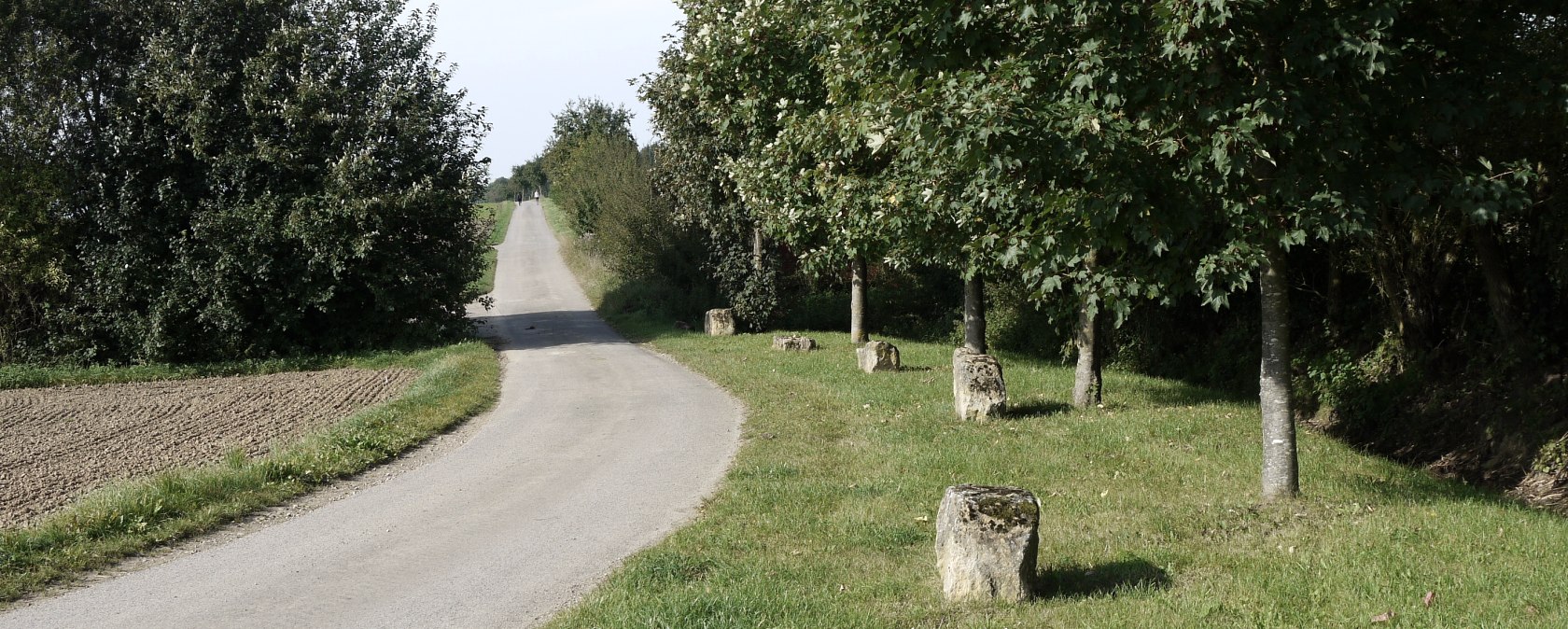
This approximately 8 km long hiking trail leads from the community hall in Badem via Metterich back to Badem.
Large parts of the path are asphalted. They are passable with prams.

Badem
This approximately 8 km long hiking trail leads from the community hall in Badem via Metterich back to Badem.
Large parts of the path are asphalted. They are passable with prams.
Start: Gemeindehalle Badem, Hubert-Lux-Straße, 54657 Badem
Destination: Gemeindehalle Badem, Hubert-Lux-Straße, 54657 Badem
Distance: 8.4 km
Duration: 2:5 h
Difficulty: easy
Tour-type: Hiking
Ascent: 44 m
Descent: 44 m