Copyright: TI Bitburger Land
Local hiking trails in the Bitburger Land region
Here you will find, among other things, a selection of hiking trails of the Eifelverein in the Bitburger Land. The trails are marked with a three-colored "E" (blue: for sky and water; brown: for earth and soil; green for meadows and forests) on a white background; above it "EIFELVEREIN", below it the name of the trail on a green field.
This section also contains a selection of local hiking trails in the local communities in the Bitburger Land vacation region.
Local hiking trails
105 results

Hiking
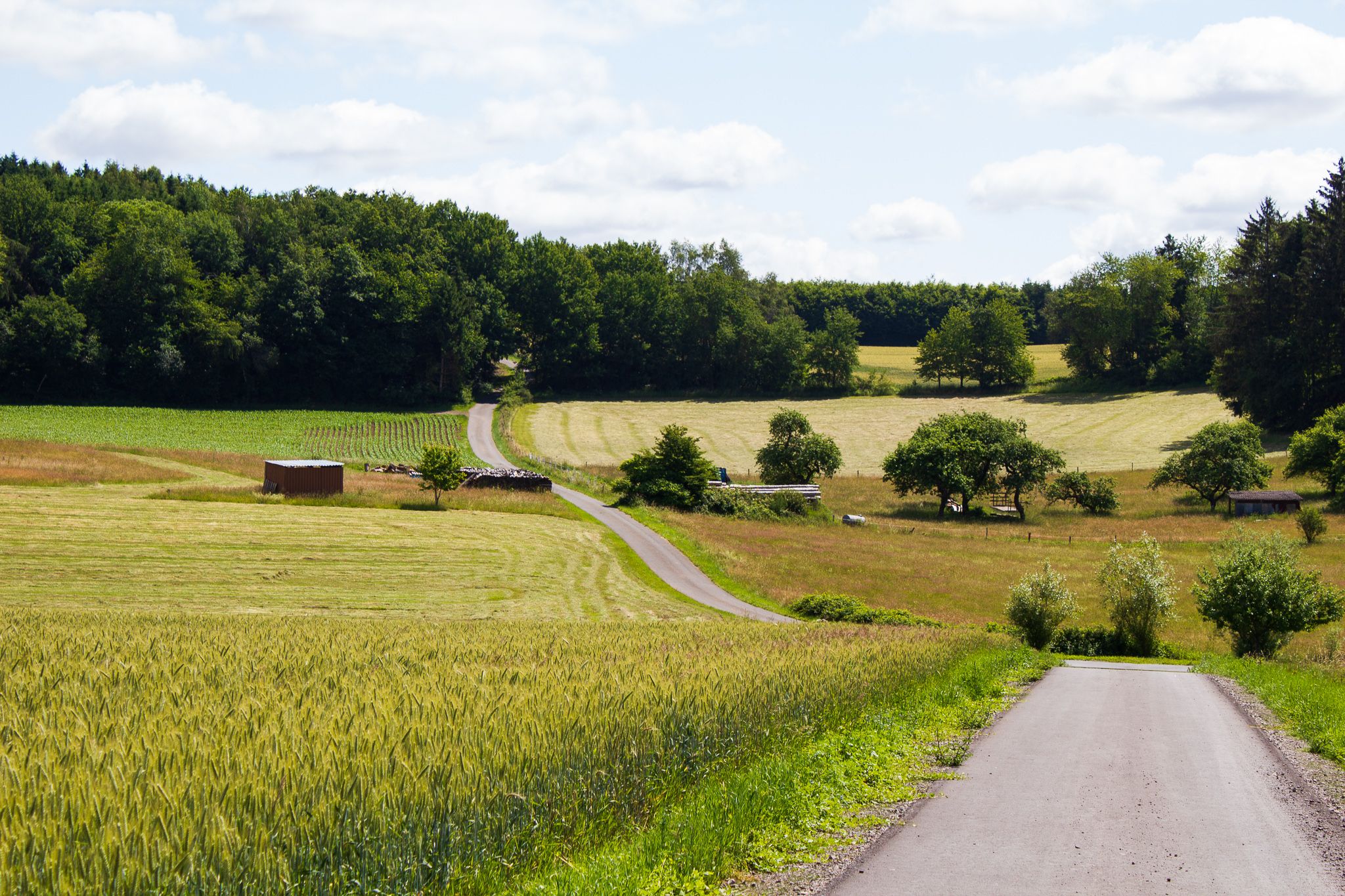
Oberkail "OK2"
OberkailDistance:6.1 km
Duration:1:40 h
Difficulty:Easy
Circular hike from/to Oberkail

Hiking
Oberkail circular walk (OK1)
OberkailDistance:6.2 km
Duration:1:40 h
Difficulty:Easy
Circular walk from the community centre in Oberkail

Hiking
Oberweis Cross Path
OberweisOpen today
Distance:14.8 km
Duration:4:10 h
Difficulty:Medium
The stonecrosses along the "Oberweiser Kreuze-Weg" are provided with numbered information boards. The trail includes 12 stations and has a length of about 14 kilometres.

Hiking
Pestflämmchenweg Dudeldorf
DudeldorfDistance:7.0 km
Duration:1:27 h
Difficulty:Easy
Circular walk in Dudeldorf

Hiking
Pilgrimage trail - circular route around Speicher
SpeicherDistance:17.0 km
Duration:4:50 h
Difficulty:Difficult
The Speicher local group of the Eifelverein maintains a well-marked network of hiking trails in a varied landscape with a total length of 144 km. You will find an overview board of the routes at the Lermesbrück car park.

Rittersdorfer Fitnessweg
RittersdorfOpen today
Walking, running, exercising on various equipment - Around Rittersdorf.
Benjamin Milbach (11)")
Hiking
Röhl forest and meadow trail
RöhlDistance:10.5 km
Duration:2:45 h
Difficulty:Medium
Circular hiking trail around Röhl
Benjamin Milbach (6)")
Röhl insect nature trail
RöhlDistance:5.8 km
Duration:1:35 h
Difficulty:Medium
Insect nature trail over Röhl and its fields.
Benjamin Milbach (3)")
Hiking
Röhl Way of the Cross
RöhlDistance:14.1 km
Duration:3:45 h
Difficulty:Medium
Hike around Röhl

Hiking
Römerweg - Rundweg rund um Speicher
SpeicherDistance:12.7 km
Duration:3:44 h
Difficulty:Medium
The Speicher branch of the Eifelverein maintains a well-marked network of hiking trails in a varied landscape with a total length of 144 km. You will find an overview board of the routes at the Lermesbrück parking lot.