
Hiking
Hiking trail Idesheim - "Napoleon's Trail
IdesheimDistance:7.2 km
Duration:1:50 h
Difficulty:Medium
Hike around Idesheim
Hike around Idesheim
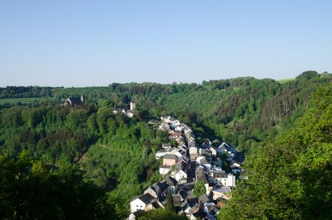
Kyllburg circular route
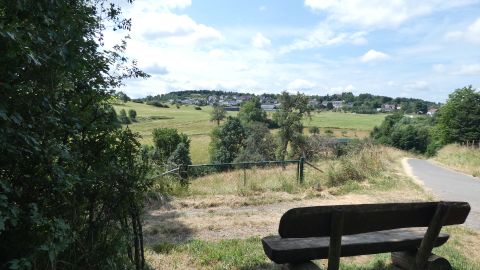
Circular hike near Fließem
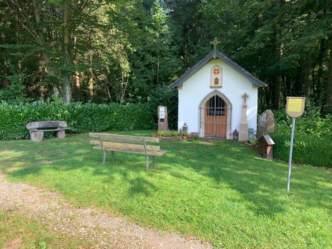
Circular trail around Fließem
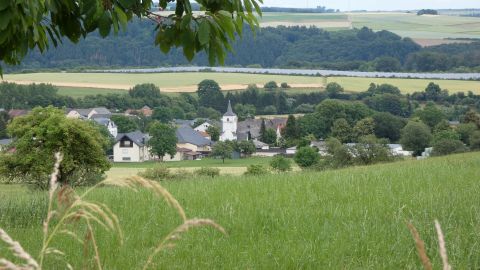
Around Fließem
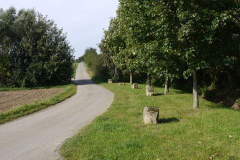
Circular trail from/to Badem
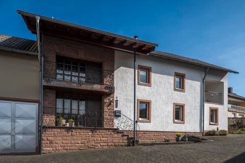
Haus Schmitz - your holiday home Discover our beautiful holiday home, a perfect retreat to switch off and feel good. Our holiday home is located in the heart of the Eifel and we have thought of everything for you so that you can finally really relax again: Cosy indoor seating areas, a sauna with access to the balcony, a garden, free Wi-Fi, your own parking space, modern bedrooms and fresh eggs from our farm hens every morning on request. E-bikes are available for exploring the surrounding area. The holiday home is in a quiet location and offers pure relaxation. The holiday home offers its guests a wellness area/sauna, terrace, garden, sitting area, TV, a fully equipped kitchen with fridge, coffee machine, two bathrooms and a living room. The nearest main railway station, Trier, is 21 km away and Luxembourg Airport is 50 km away.
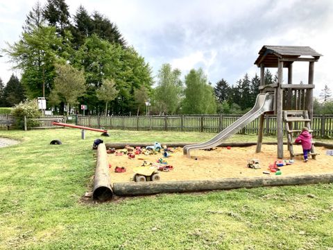
idyllically situated playground in Mohrweiler
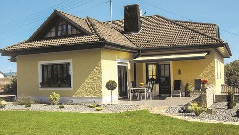
Very nice, well-kept guest rooms in a quiet and pleasant village setting.Ideal starting point for excursions of all kinds. Cycling and hiking trails nearby. Discounts for children.Motorcycle-friendly
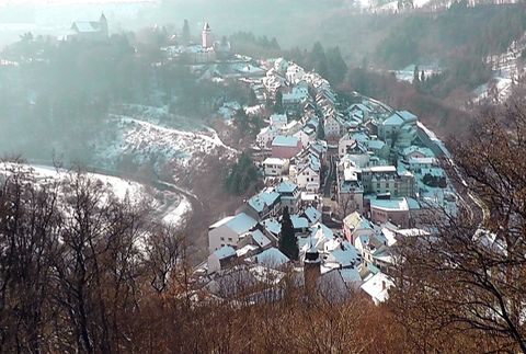
Circular hike with panoramic views