Filtres actifs
- Rechercher "kyllburg"
- Classer par "Meilleurs résultats"
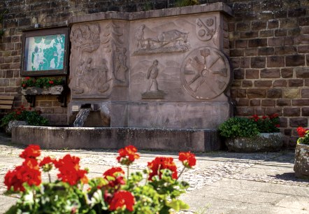
Neidenbach N3
Itinéraire: 8 km
Route: Dorfbrunnen Ecke Densborner Straße, Kyllburger Straße à Dorfbrunnen Ecke Densborner Straße, Kyllburger Straße
Difficulté: moyen
circuit
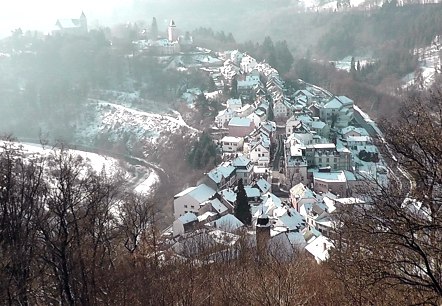
GPS-Wanderung: Höhenwanderung um Mohrweiler
Itinéraire: 6,1 km
Difficulté: facile
adapté aux familles, circuit
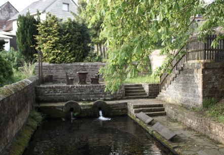
Neidenbach N4
Itinéraire: 5,3 km
Route: Dorfbrunnen Ecke Densborner Straße, Kyllburger Straße à Dorfbrunnen Ecke Densborner Straße, Kyllburger Straße
Difficulté: facile
adapté aux familles, circuit

Eifelverein - Sentier des rochers, 10e étape
Itinéraire: 19,5 km
Route: Mürlenbach à Malberg
Difficulté: moyen

Eifelverein - Mosel-Our-Weg 6. Etappe
Itinéraire: 15,2 km
Route: Bitburg Dauner Straße à Weidingen
Difficulté: moyen

Bingo au château de Malberg
Malberg
Qui sera à trouver quatre des choses qu'il recherche au château de Malberg?.
Informations supplémentaires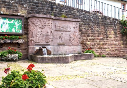
Neidenbach N1
Itinéraire: 8,7 km
Route: Dorfbrunnen Ecke Densborner Straße, Kyllburger Straße à Dorfbrunnen Ecke Densborner Straße, Kyllburger Straße
Difficulté: moyen
circuit

GPS-Tour: Schöne-Aussichten-Tour (TV-Wandertag)
Itinéraire: 12,3 km
Difficulté: moyen
circuit

Schlossrallye auf Schloss Malberg (Kinder)
Itinéraire: 0,3 km
Difficulté: facile
adapté aux familles
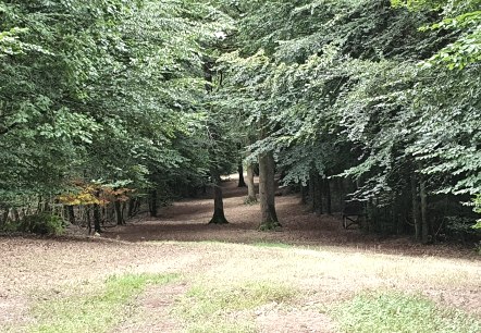
Bitburger LandGang - Route forestière d'Oberkail - Circuit autour d'Oberkail
Itinéraire: 4,2 km
Difficulté: facile
adapté aux familles, circuit

